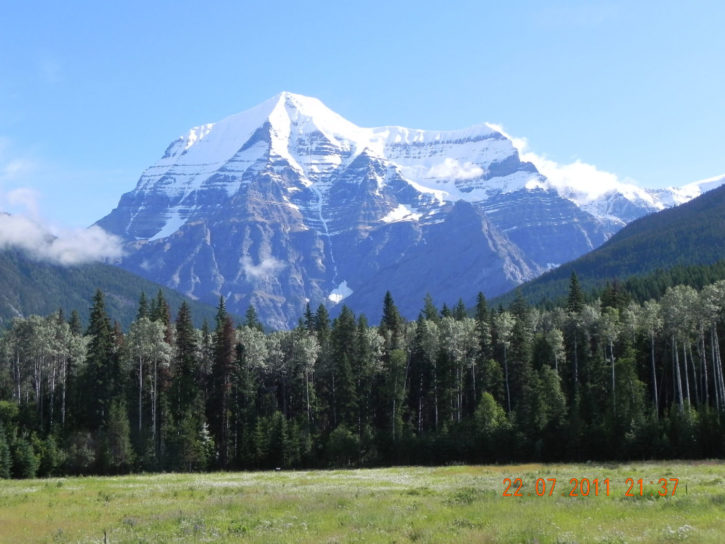
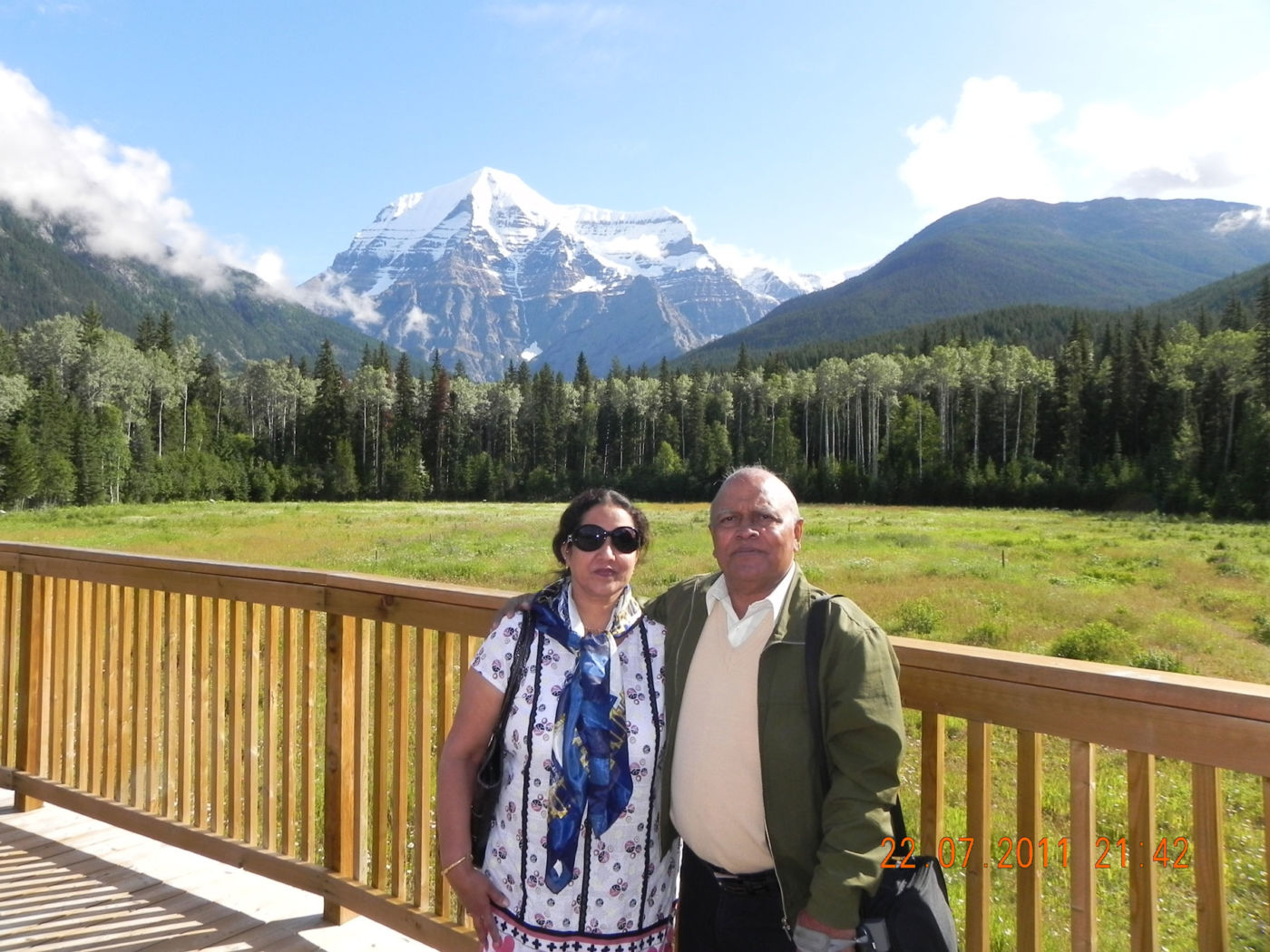
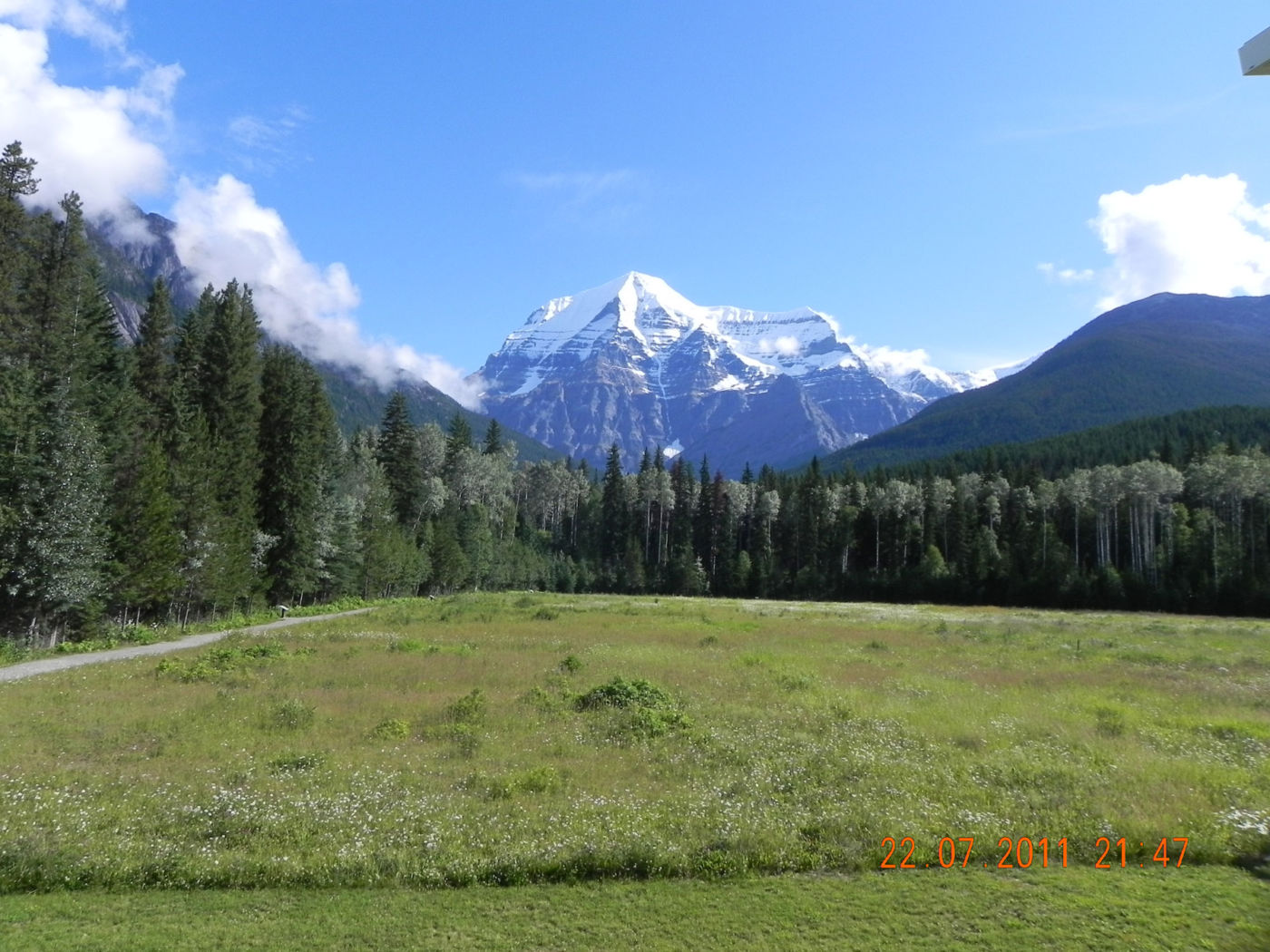
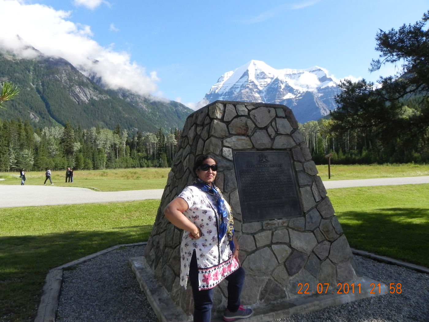
MOUNT ROBSON
— THE HIGHEST PEAK IN THE CANADIAN ROCKIES WHERE WATERFALLS, GLACIAL LAKES, WILDFLOWERS AND WILDLIFE DRAW YOU IN.
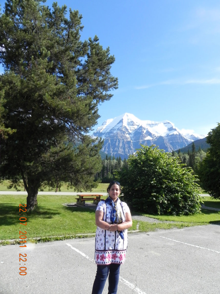
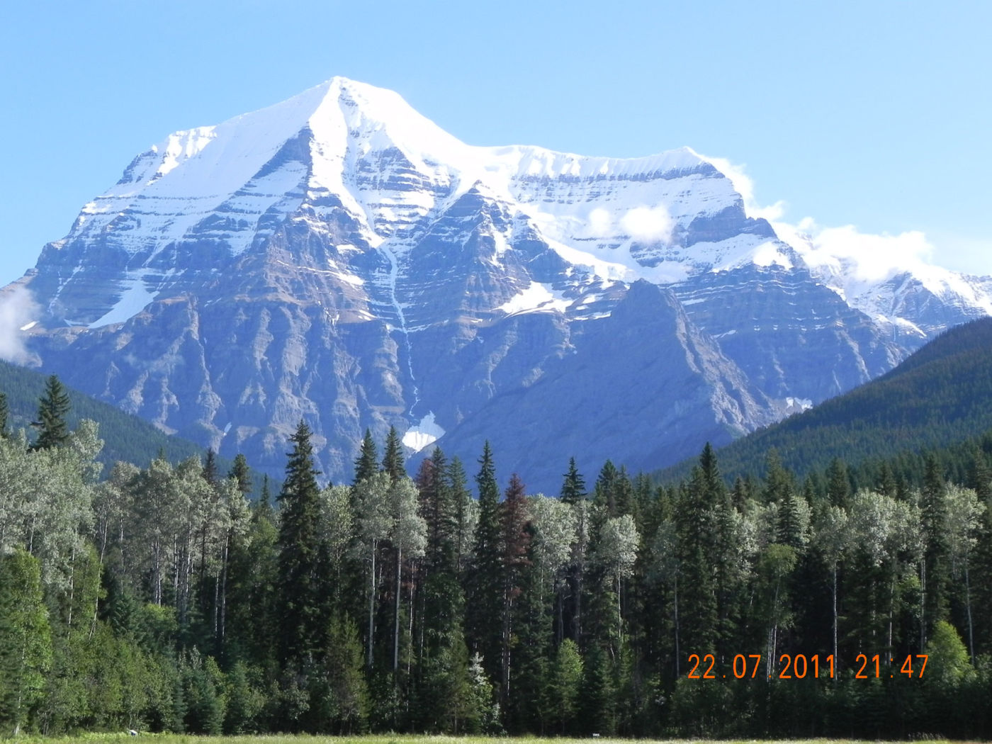
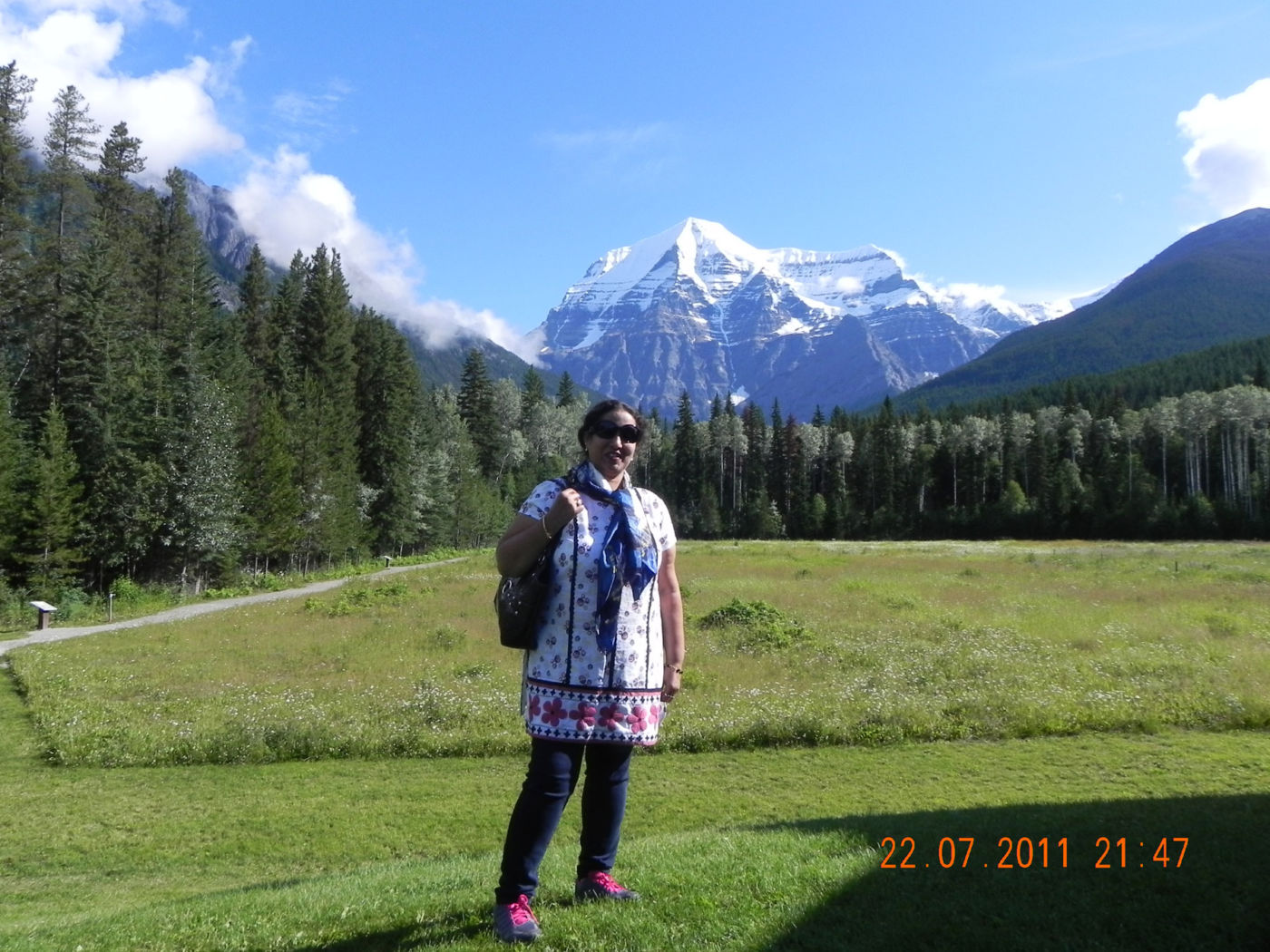
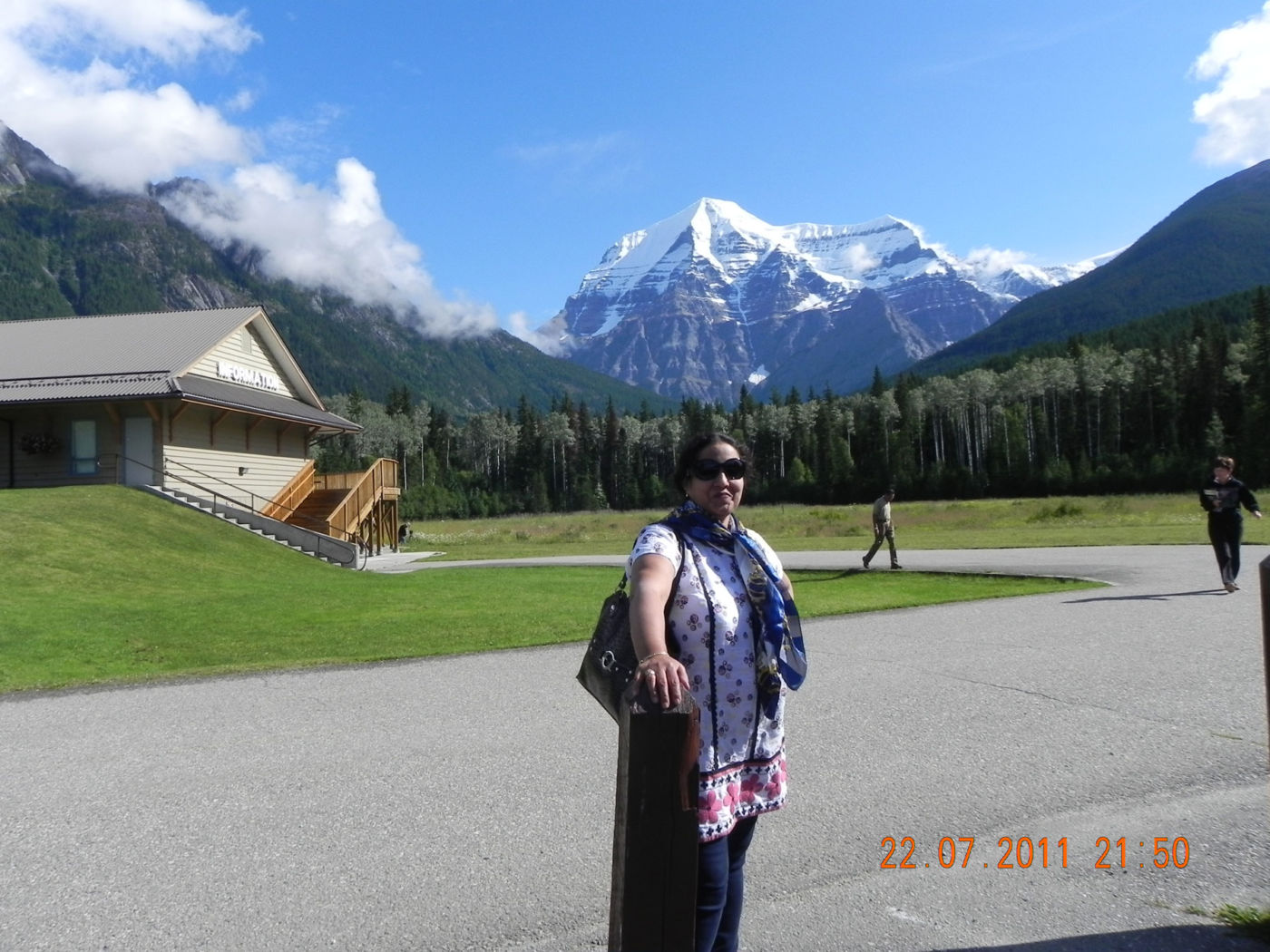
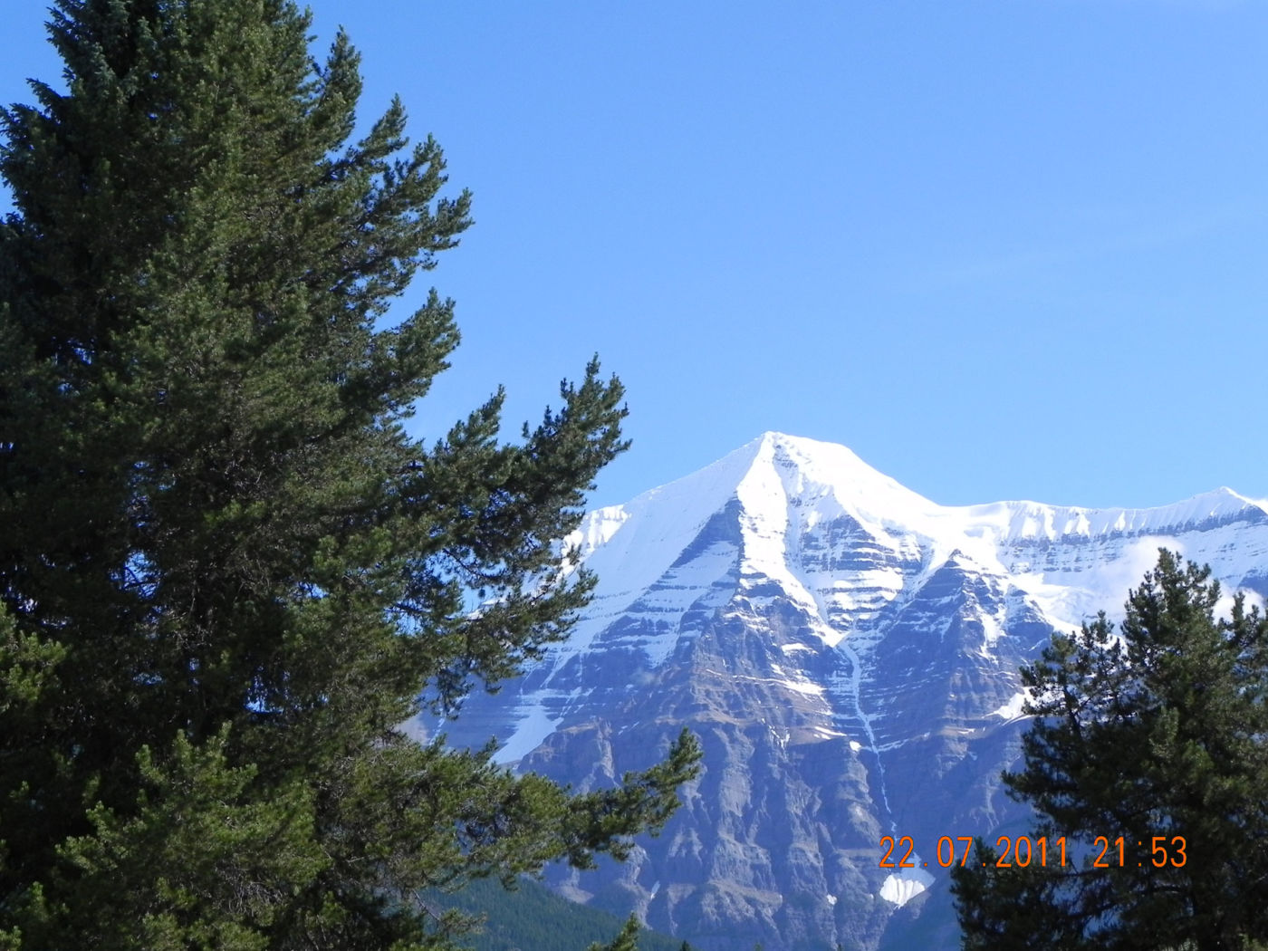
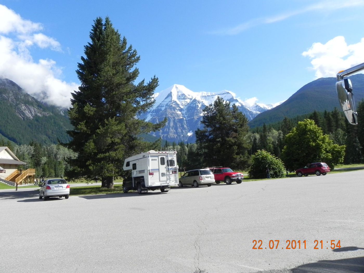
“The Mountain of the Spiral Road,” Mount Robson’s gigantic, snow-capped peak has put visitors in a state of awe for centuries. There is not a soul who passes through this valley without giving reverence to this pinnacle. Mount Robson Provincial Park is the second oldest park in the province. At the heart of this protected area are the headwaters and the first 100 km the largest salmon producing river in the world: the Fraser River. It begins as an icy trickle here in the park before flowing 1,378 km (856 mi) to the Pacific Ocean.
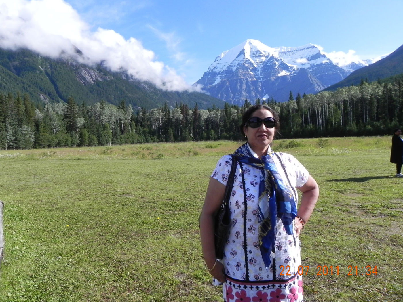
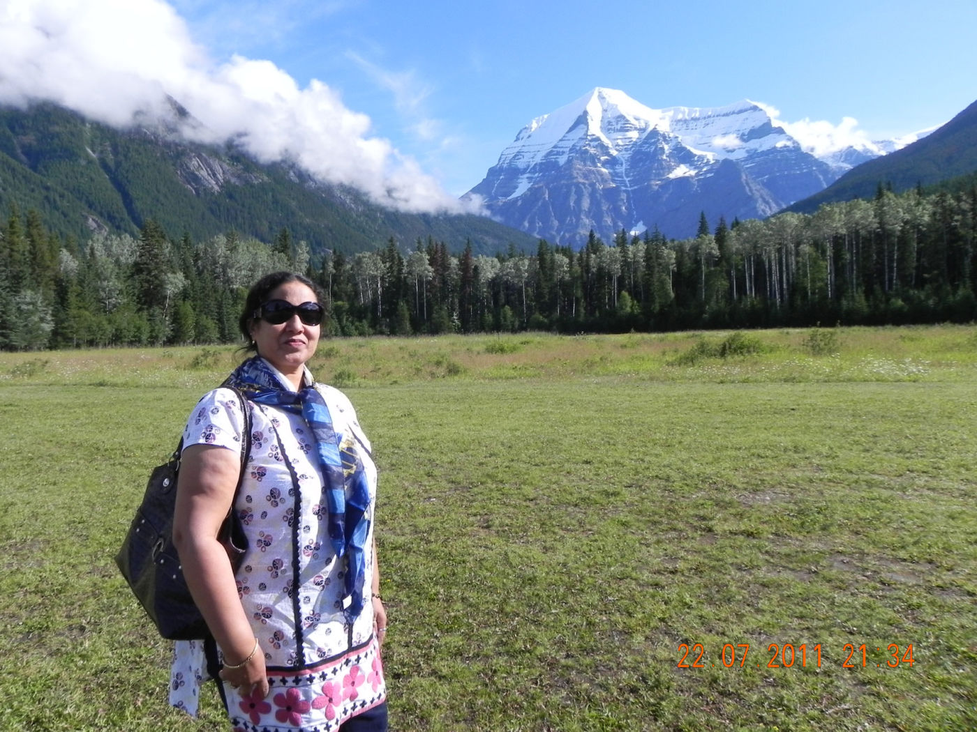
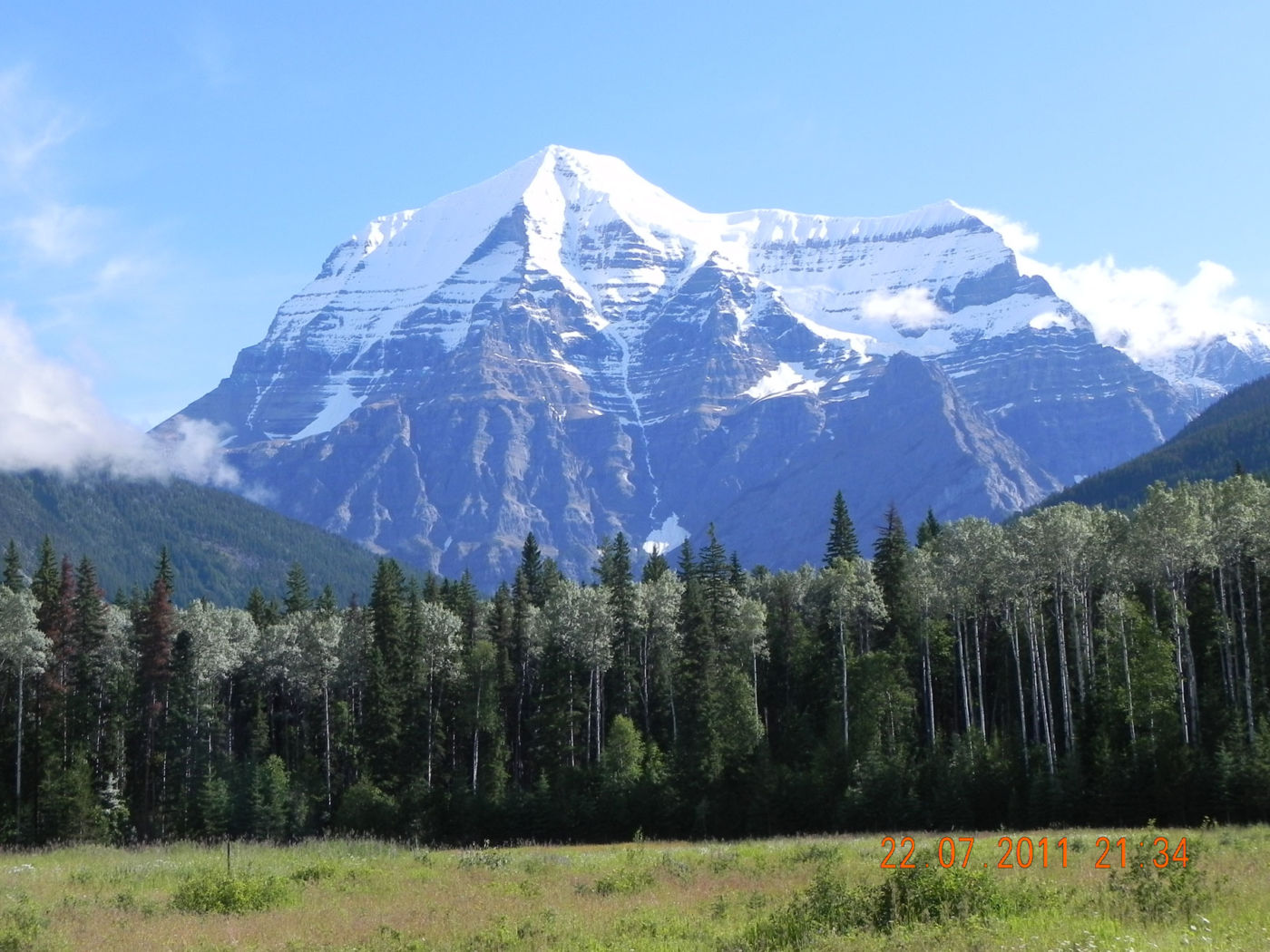
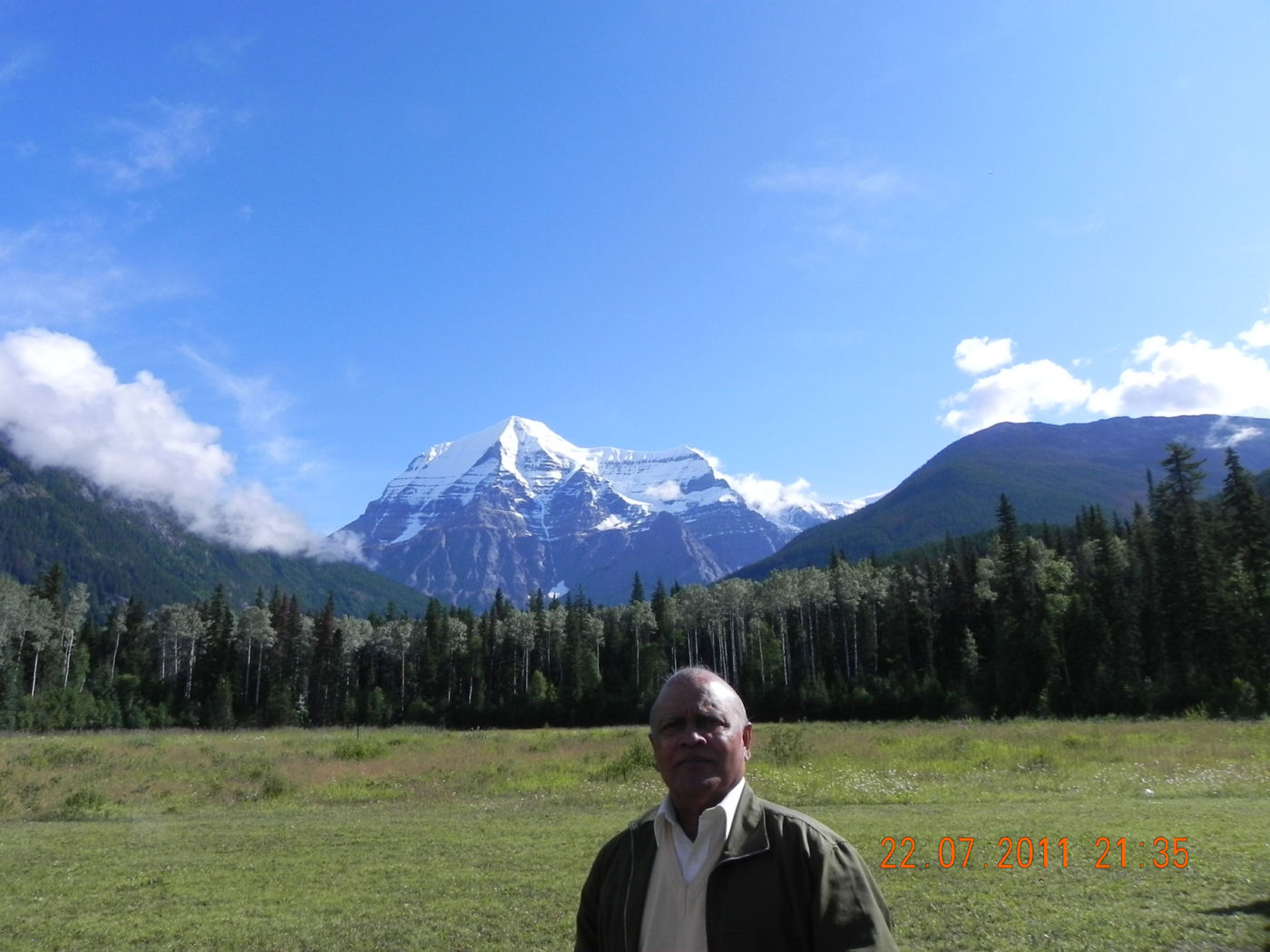
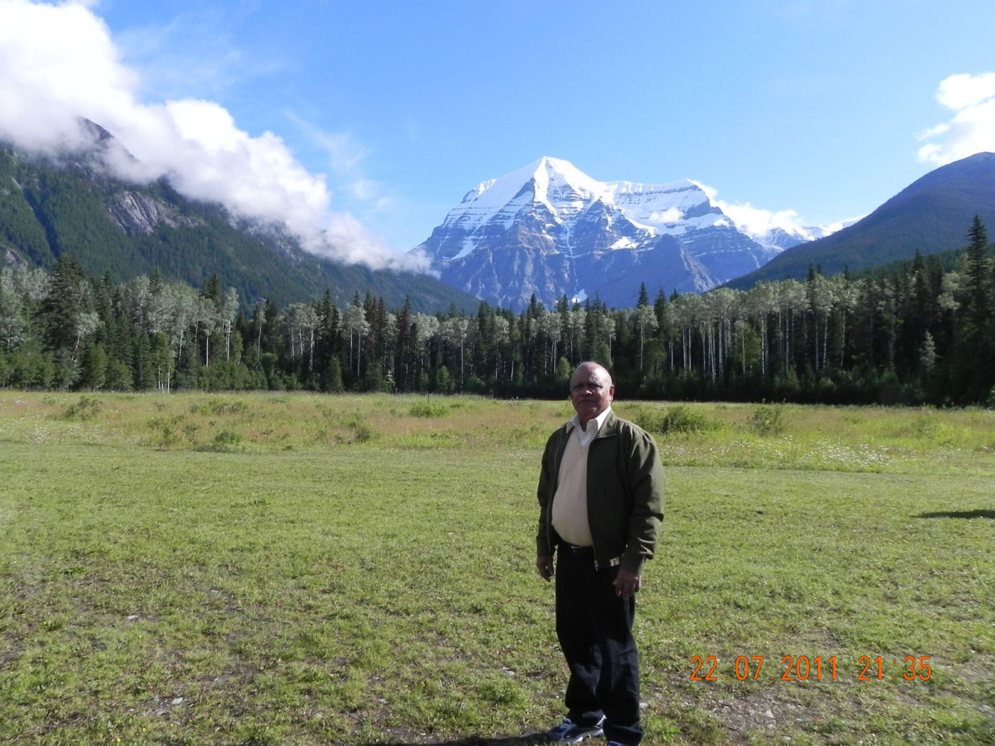
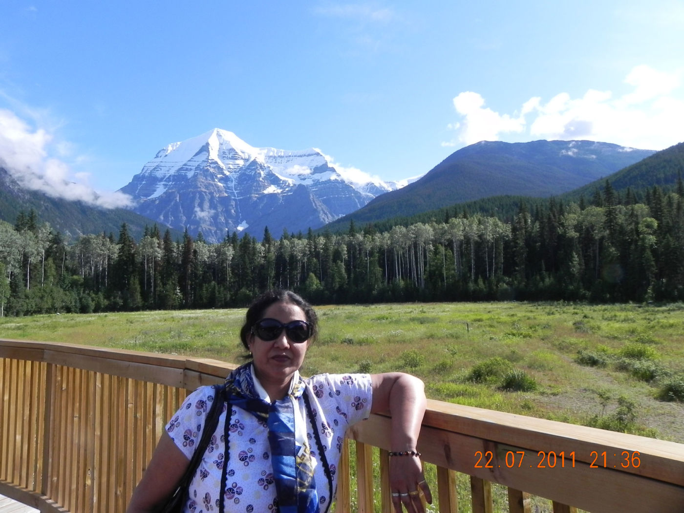
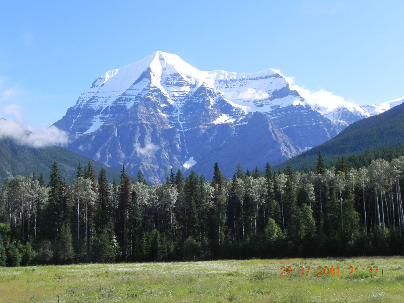
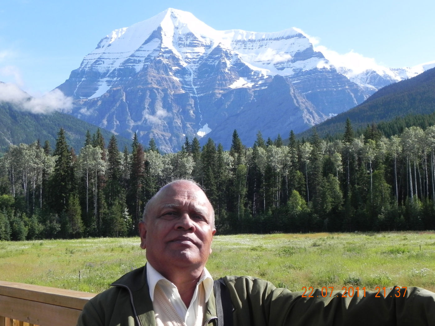
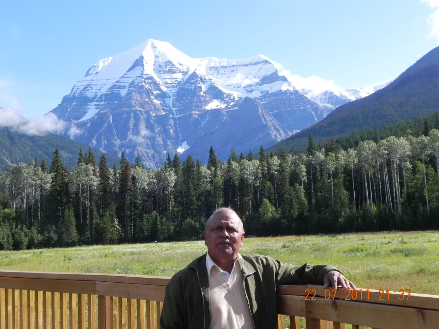
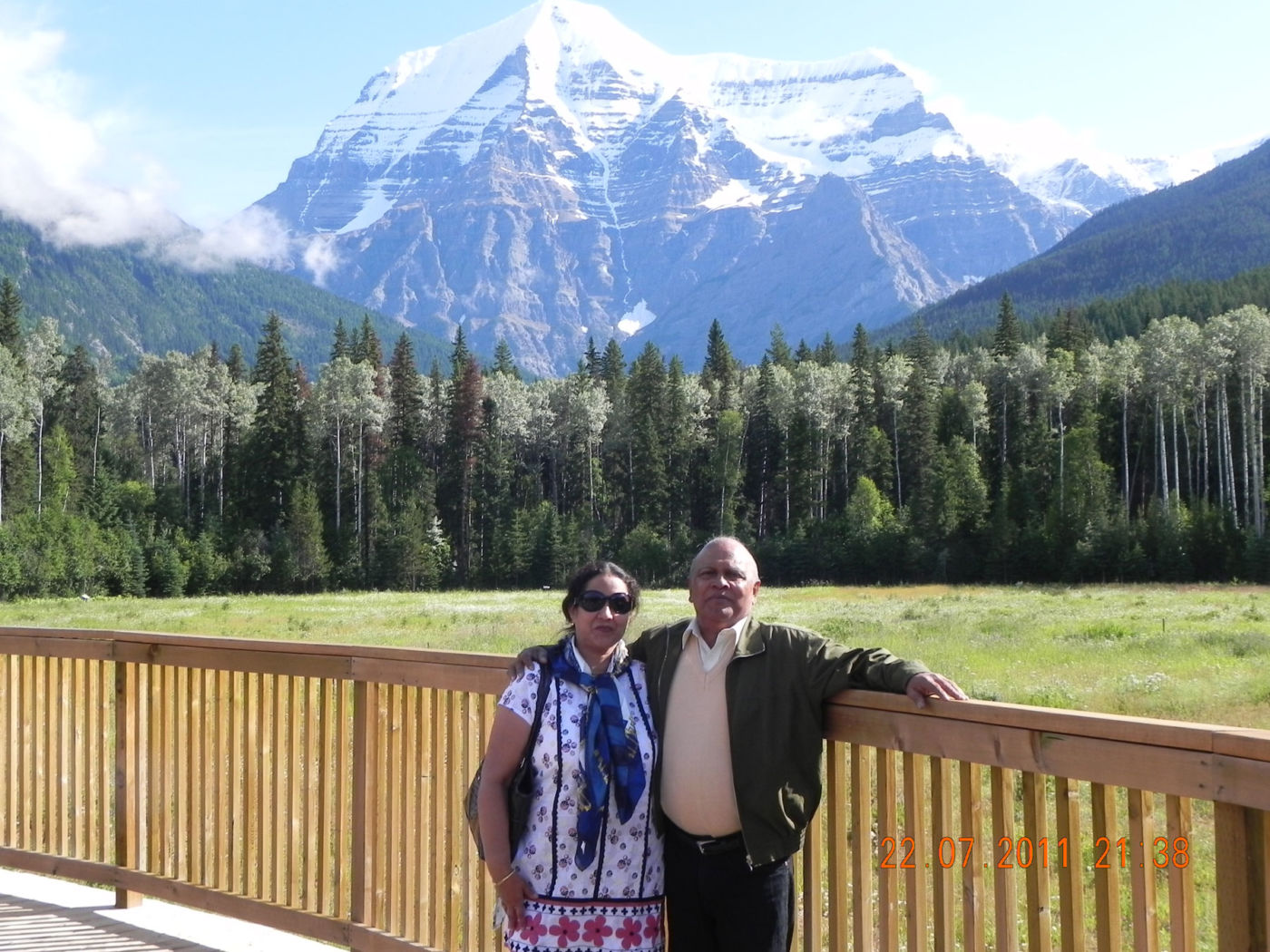
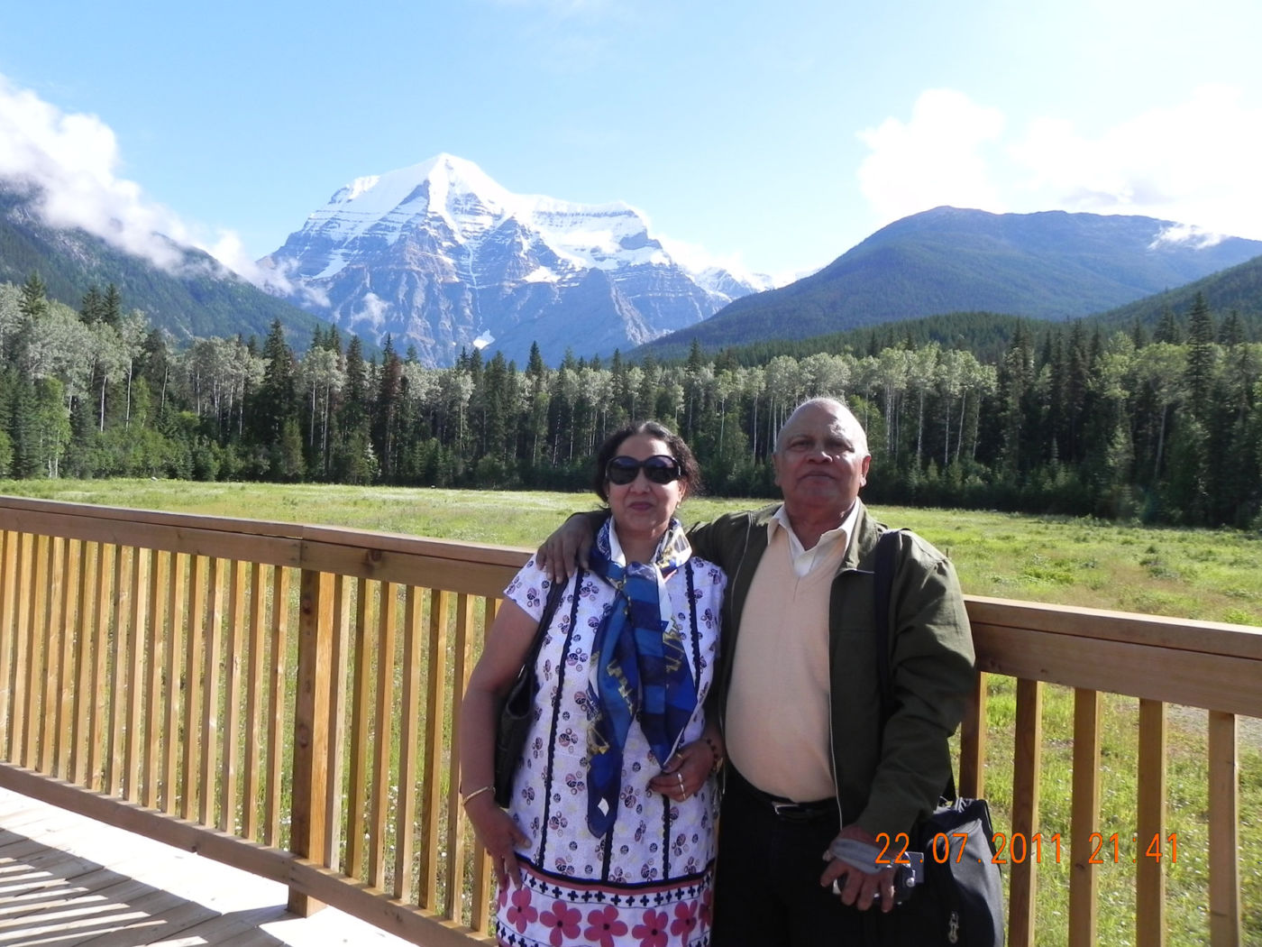
The peak of Mount Robson is the highest in the Canadian Rockies, towering 12,972 feet (3954 m) over the western entrance to the park. As well as occupying a portion of the Main (Park) Ranges of the Rockies, the park, one of the oldest in British Columbia, also contains the headwaters of the Fraser River, and, in the northwest section of the park, the massive Berg Glacier, notable for being one of the few living (or advancing) glaciers in the Canadian Rockies. Before the discovery of Mount Waddington on the central coast in 1925, Mount Robson held the distinction of being the tallest mountain in British Columbia.
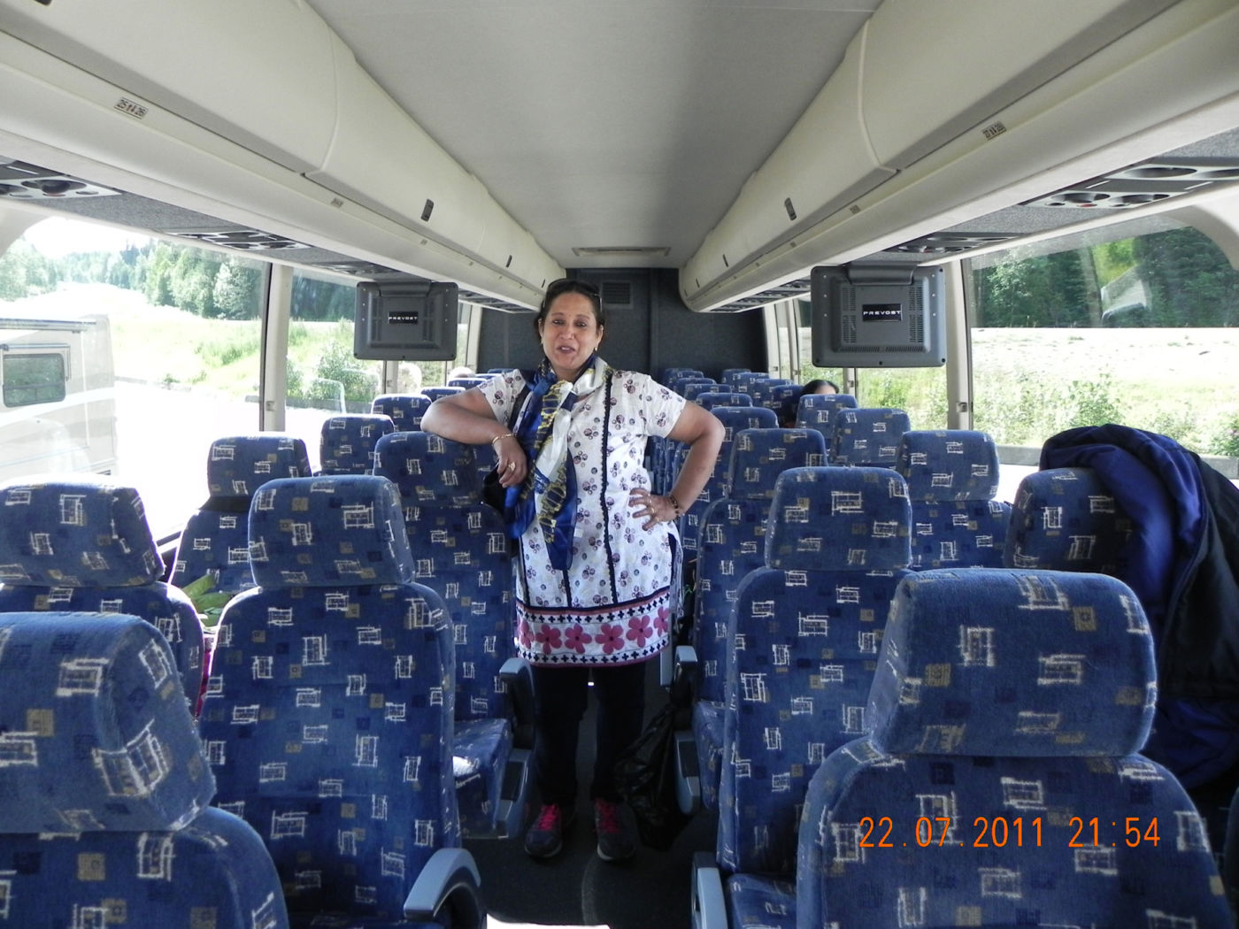
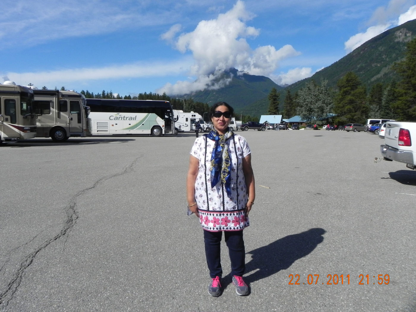
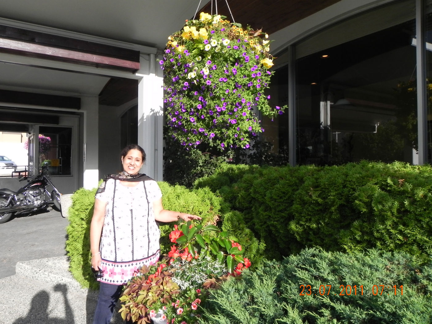
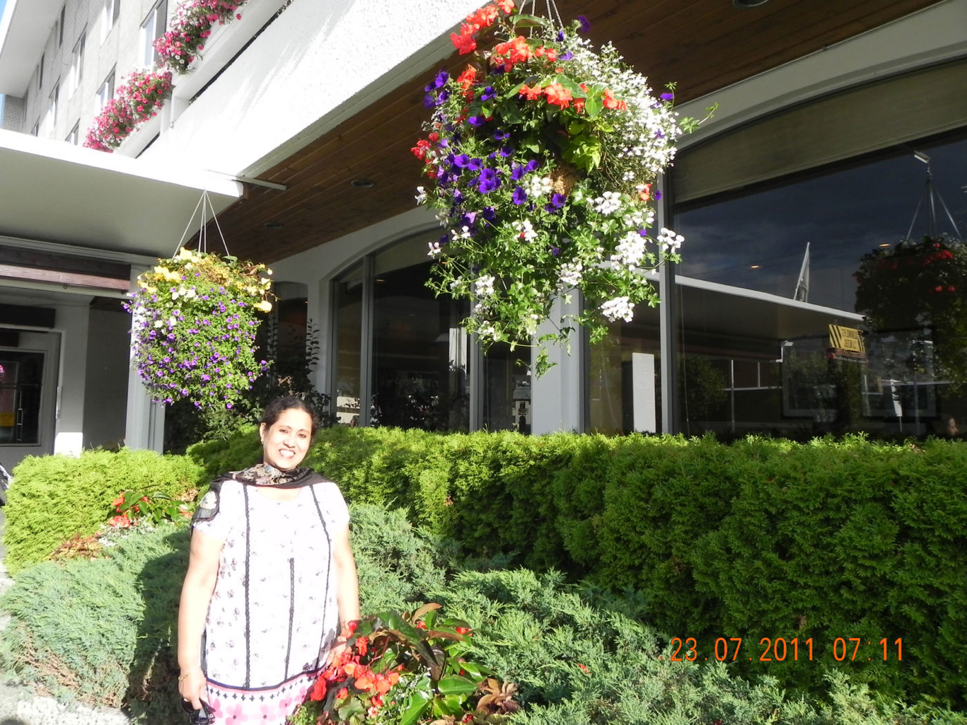
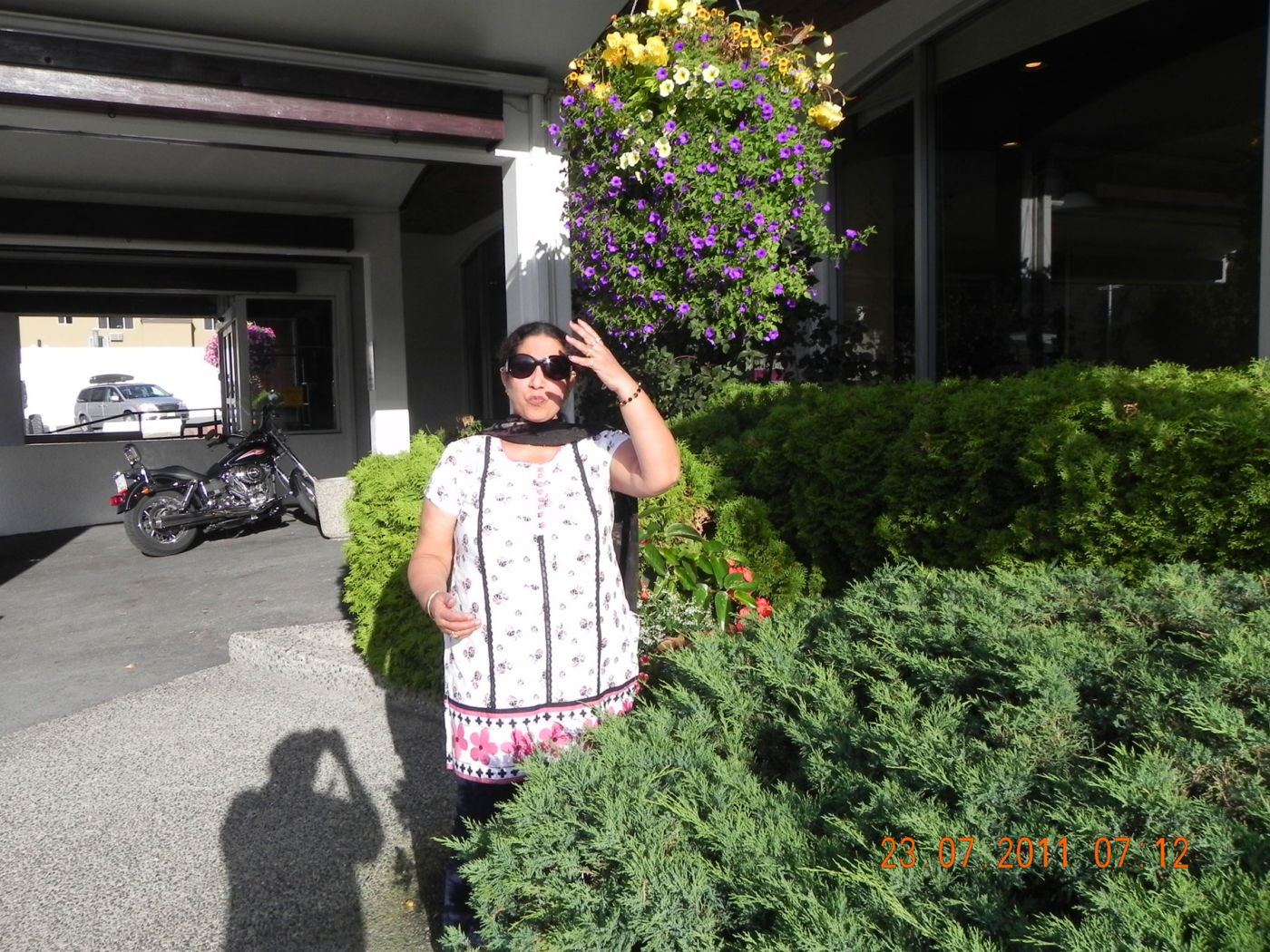
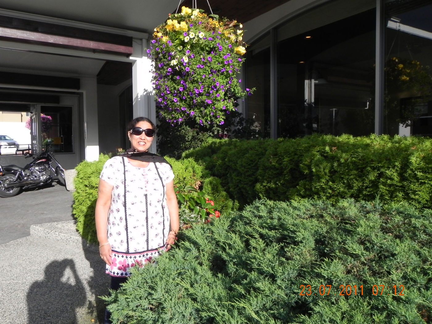
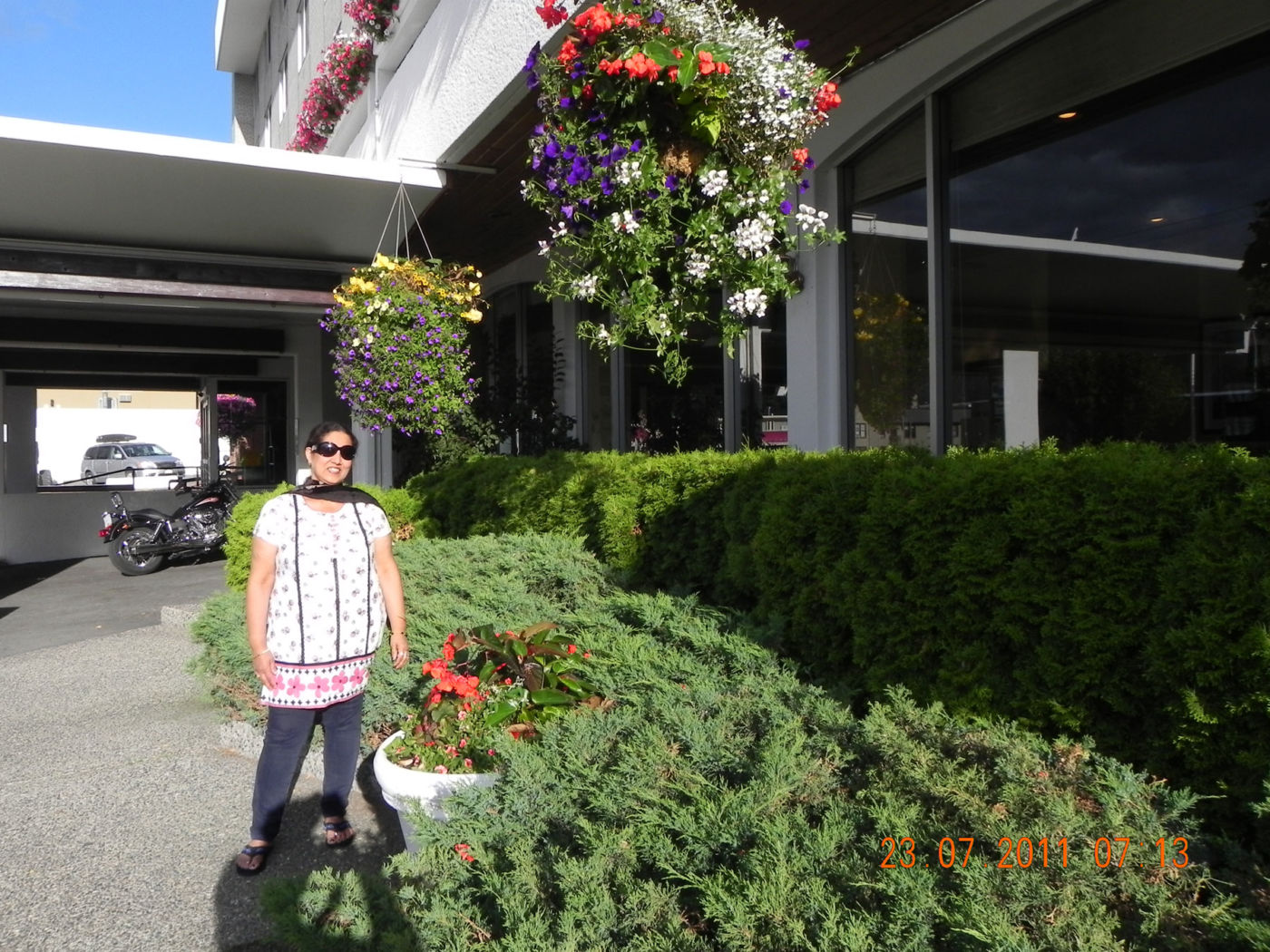
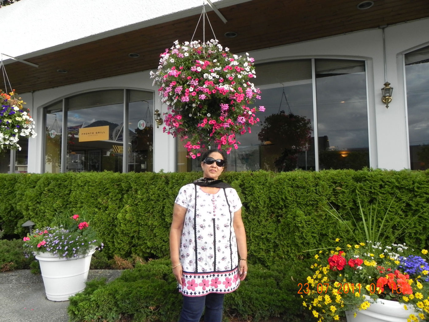
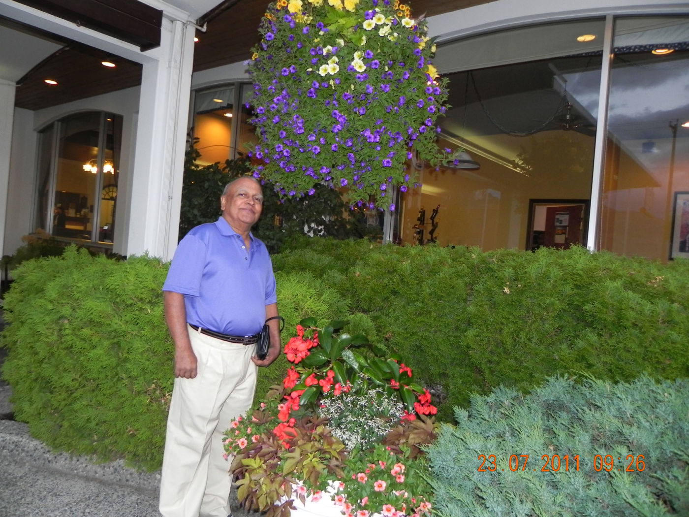
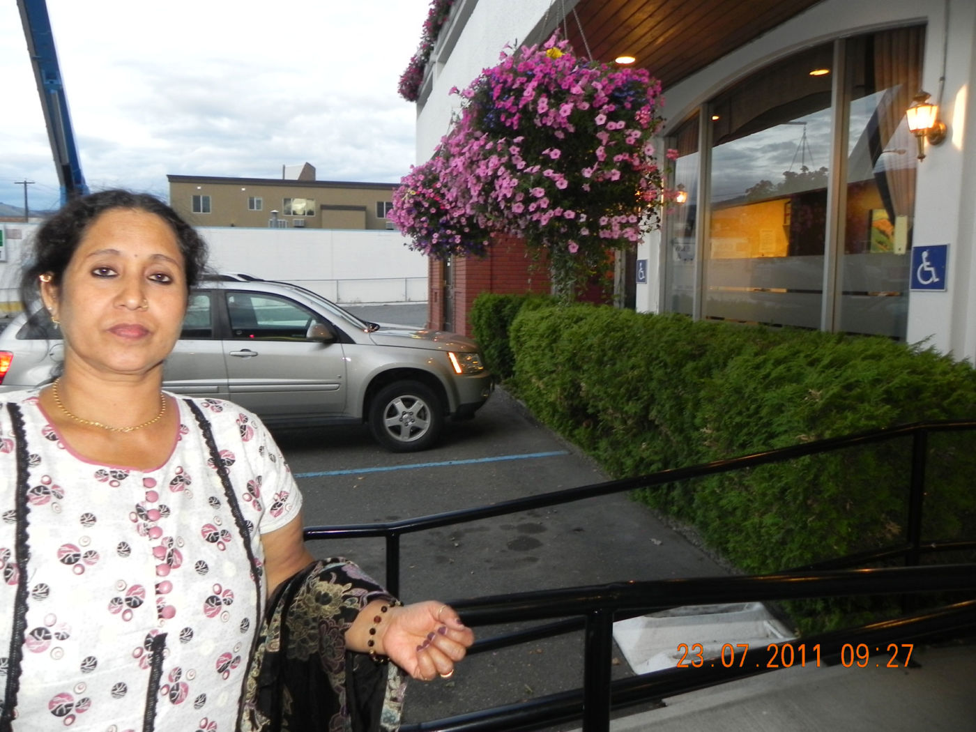
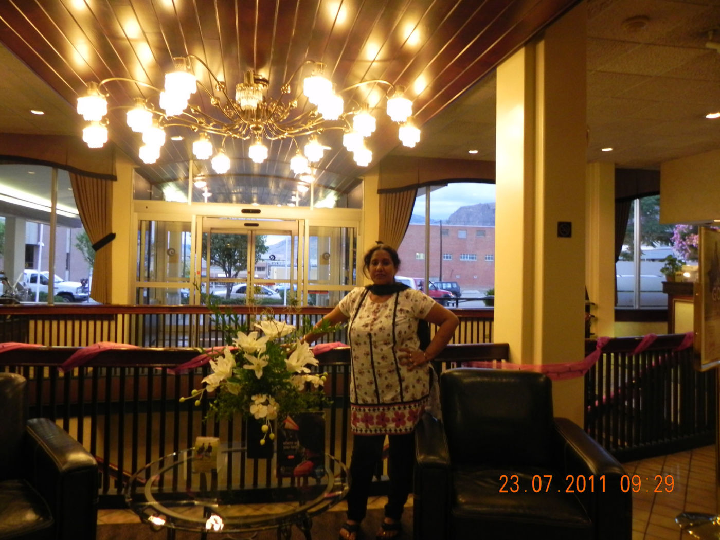
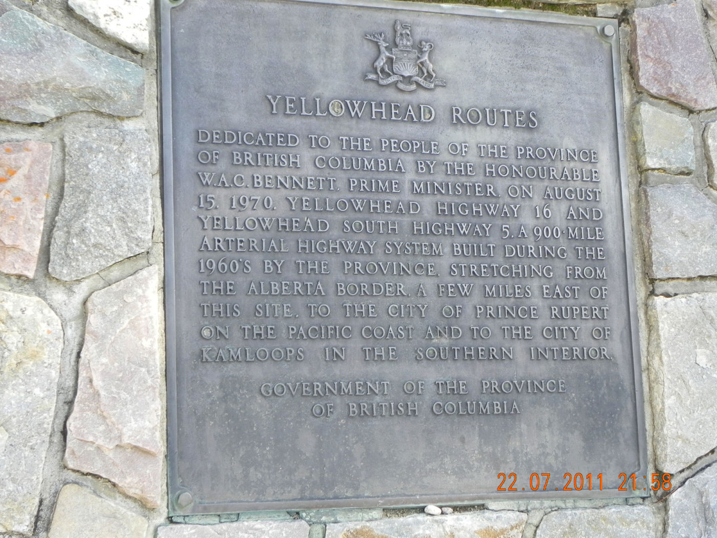
Kamloops is a Canadian city in British Columbia, where the North and South Thompson rivers meet, is located at the crossroads of the Coquihalla Highway, Yellowhead Highway, and Trans-Canada Highway. The Kamloops Airport is a 15-minute drive from downtown, the cultural hub of the city. It’s easy to get here.